
Rafting the Royal Gorge in a Low-Water Year
Rafting the Royal Gorge in a Low-Water Year
After a winter that left Colorado snowpacks at record lows, the spring 2026 headlines were hard on rafting. The Colorado Sun ran "Low Arkansas River flows have Colorado rafting outfitters, communities bracing for a rocky summer" on May 22, and "After a grim Colorado ski season, drought is crippling rafting" on June 3. A lot of families read those headlines and put the river off for a year.
What the Same Reporting Said
Read past the headline and the May 22 story says the Arkansas River rafting season will happen, with fewer paddlers on smaller boats. It also says the lower sections of the river with more water, like the Royal Gorge, would see more traffic. The June 3 story carried outfitters urging visitors to come, saying there was still room for fun on the milder flows.
What Low Water Changes on a Trip
Our guides read the Arkansas in CFS, cubic feet per second:
- Under 500 CFS (low water): more rocks show, and the run asks for more technical maneuvering. The ride is precise rather than big.
- 500 to 2,000 CFS (medium water): the range most groups find ideal.
- Over 2,000 CFS (high water): bigger waves and faster water. Age minimums rise at high water.
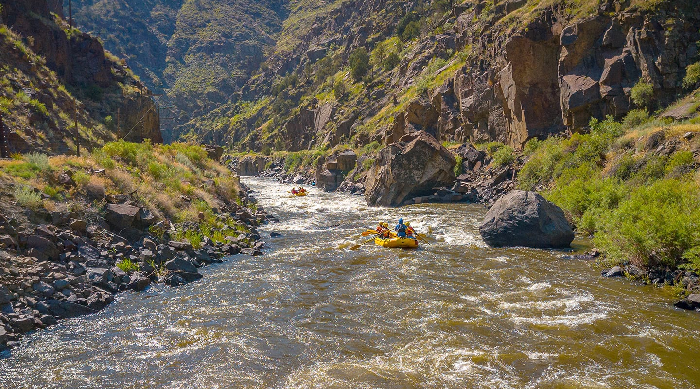
Low water is not a closed river. It is a different ride, and your guide picks the line through each rapid based on what the river is doing that day.
What the Gauge Showed This Season
From April 15 to September 23, 2026, the Parkdale gauge recorded a daily average under 500 CFS on 161 of 162 days. The one day above that line was May 16, at 524 CFS. On July 15 the river ran 223 CFS; the median for that day over 71 years of records (1946 to 2025) is 1,280 CFS. The lowest day so far was September 13, at 178 CFS. USGS marks the figures from June 1 on as provisional.
That is what a low-water year looks like on the gauge. You can read today's number, and what it means for a trip, at royalgorge.org/conditions.
Check the River Before You Book
The gauge for the Royal Gorge is USGS 07094500, the Arkansas River at Parkdale, at the top of the canyon: waterdata.usgs.gov/monitoring-location/USGS-07094500. Look at it, then call us and ask what that level means for the trip you have in mind.
Book Your Trip
Our season runs April 15 to October 15. Book your trip or read our first-timer's guide.
Related Articles

Ready to Hit the River?
Book your adventure today or call us for personalized trip recommendations.